
Will El Niño make winter’s bite milder this year?
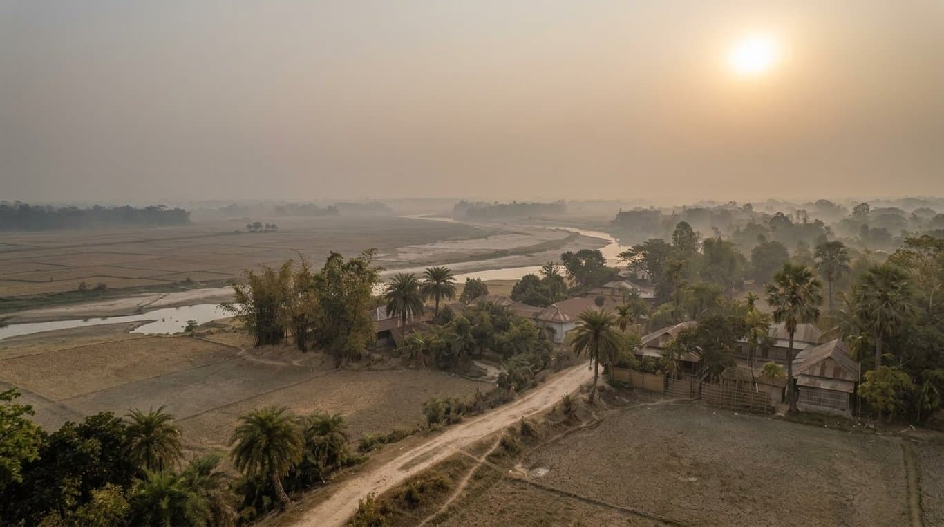

The season is changing, but winter appears to be taking its time. The familiar signs of autumn—white clouds drifting across the sky, dew settling on grass at dawn and a coolness in the air—have arrived unevenly across Bangladesh. While early mornings are beginning to carry a hint of winter, the heat of the day has yet to fully retreat.
Data from the Bangladesh Meteorological Department shows that rainfall was 8% below normal in August and 18% below normal in September. Temperatures also remained above normal during the period, while October is expected to be warmer than usual. That has raised an obvious question: what kind of winter is Bangladesh heading towards?
Weather experts suggest that winter will arrive, but its bite may not last as long as in previous years. Instead of weeks of persistent, bone-chilling cold, Bangladesh could see shorter and more scattered spells of cold weather. One of the factors drawing attention in this outlook is El Niño, the climate pattern developing over the Pacific Ocean.
Meteorologist Md Bazlur Rashid told Views Bangladesh that El Niño has been in a strong phase since June and could influence weather patterns across not only Bangladesh but the broader Indian region. He said the phenomenon could contribute to above-normal temperatures and lower rainfall during winter.
But a warmer winter does not necessarily mean an absence of cold. The character of winter itself could change. Reduced rainfall may allow dust and pollutants to accumulate in the air, while increased moisture near the surface can contribute to dense fog. When thick fog blocks sunlight from reaching the ground, daytime temperatures can feel colder even if nighttime temperatures do not fall significantly below normal.
El Niño is not a storm or a short-lived weather event. It is a natural climate pattern associated with changes in sea-surface temperatures and atmospheric pressure over the equatorial Pacific. Under normal conditions, trade winds push warm surface water westward. During El Niño, those winds weaken, allowing warmer water to shift towards the central and eastern Pacific. This can alter atmospheric circulation, rainfall and temperature patterns across distant parts of the world.
Muhammad Abul Kalam Mallik, another weather expert, said conditions in the Bay of Bengal and the upper atmosphere would also be crucial in determining the nature of the coming winter. He said warming in the Bay and lower atmosphere, along with the possible influence of a high-pressure system in the upper atmosphere, could disrupt the normal flow of winter winds.
“Severe cold spells may not last very long this year,” Mallik told Views Bangladesh. “In simple terms, El Niño could bring a relatively warmer winter with shorter cold spells.”
Yet Bangladesh’s winter is not governed by El Niño alone. Low-pressure systems over the Bay of Bengal, Indian Ocean temperatures, monsoon behaviour, atmospheric pressure patterns and local weather conditions can all influence the country’s winter. A global climate signal, therefore, cannot be applied directly to every district or every day of the season.
The emerging picture suggests that fog could begin appearing in northern and hilly areas towards the end of October, while the influence of cold northerly winds may strengthen towards late November. December through February is expected to remain the core winter period. Several spells of intense cold could hit the northern districts, but they may be relatively short-lived.
That could produce a distinctly uneven winter: dense fog at dawn, muted sunshine during the day and comparatively comfortable temperatures at night. The contrast may be particularly noticeable when fog keeps daytime temperatures low despite relatively mild nights.
The consequences would extend beyond how cold the season feels. Dense fog could disrupt road and river transport, while reduced rainfall could worsen dust and air pollution in major cities. Agriculture could also be affected by persistent fog and fluctuations in temperature, while reduced winter rainfall could increase dependence on groundwater for irrigation, particularly in the northwestern region.
A milder winter could also have implications for the transition into spring. If El Niño remains influential, temperatures could rise rapidly between February and April, potentially increasing the risk of prolonged heatwaves later in the season.
For now, calling the coming winter “winterless” would be an exaggeration. But expecting a long spell of intense cold would also be premature. Current weather assessments point towards a comparatively warmer, shorter and foggier winter.
Cold winds may still sweep through the northern districts, and several sharp cold spells could make their presence felt. But the chill may not linger.
Winter, in other words, is still coming. It may simply arrive with a softer touch—and leave a little earlier than usual.
Leave A Comment